Hacker News Digests and Comments with My Claw
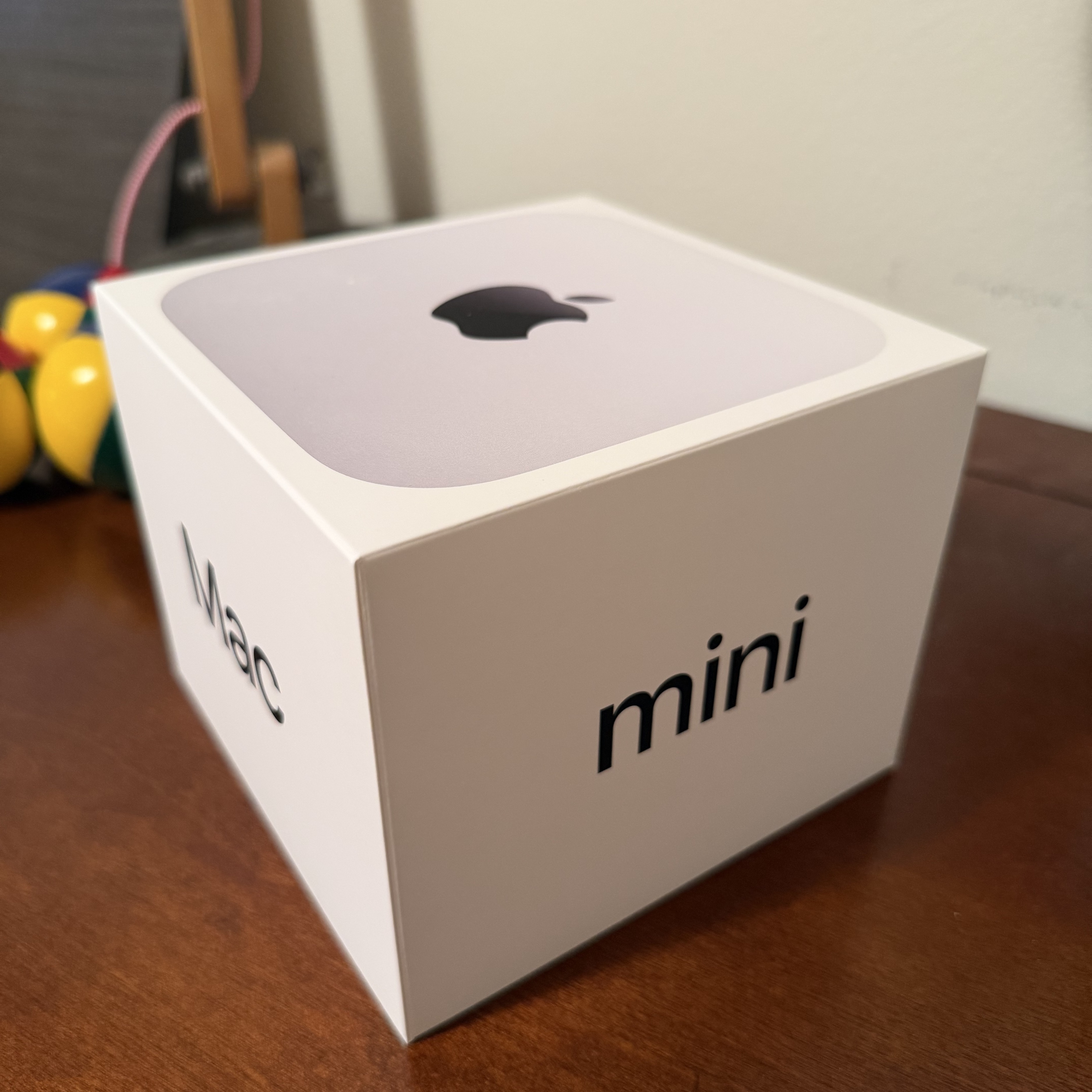
I’ve been hacking on a small site at news.cheng.st — a daily Hacker News digest I spun up on my new Mac mini with my claw 🦀. I grabbed the machine from B&H Photo at a discount before the OpenClaw hype kicked in. The same model sold out a few days later, and the discount was gone. I quickly spun up my claw daemon. It started as “summarize today’s hot threads,” but I’m not satisfied with that: I asked it to add AI reflections that try to surface what the bot cares about and which themes keep recurring in its attention.
我最近折腾了一个小网站:news.cheng.st。作为一个每日的 Hacker News 摘要站。这得益于我前些时候赶在 claw hype 起来之前,在 B&H Photo 用折扣价入手的 Mac mini。几天后我又去看了一眼:同款已经卖光,折扣也消失了。我搭建的这个网站刚开始只是“总结今天的热门帖子”,但我显然不满足于此:我在摘要开头加了一个 AI 视角的总结与反思,想试着捕捉 AI 似乎会在意什么、哪些主题会引起它的注意。